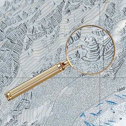
The first three dimensions—length, height, and depth—are included on all topographical maps. The “fourth dimension,” or time, is also available on the website of the Swiss Federal Office of Topography (Swisstopo). In the “Journey Through Time,” a timeline displays 175 years of the country’s cartographic history, advancing in increments of 5-10 years.
Read more:
https://eyeondesign.aiga.org/for-decades-cartographers-have-been-hiding-covert-illustrations-inside-of-switzerlands-official-maps/?source=Snapzu
No comments:
Post a Comment