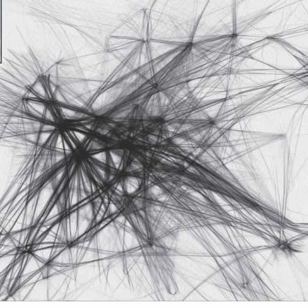
In a new book, Atlas of the Invisible, the geographer James Cheshire and designer Oliver Uberti redefine what an atlas can be. The following eight graphics reveal some of the causes and consequences of the climate crisis that are hard to detect with the naked eye but become clear when the data is collected and visualised.
Read more:
https://www.theguardian.com/environment/2021/sep/01/atlas-of-the-invisible-using-data-reveal-climate-crisis?source=Snapzu


No comments:
Post a Comment